

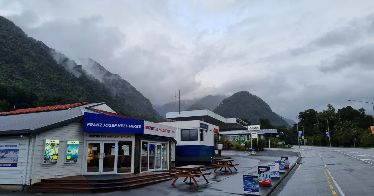
The Nepal warning has a New Zealand address
The catastrophic flood on the Nepal-Tibet border this week killed hundreds and left nearly 2,500 missing, including five New Zealanders, after a glacier and rock collapse dammed a Himalayan river before releasing it in a single surge. Within days, New Zealand researchers drew the uncomfortable comparison. University of Canterbury modelling has identified the Callery River at Franz Josef as New Zealand’s highest-risk catchment for a landslide-dam flood event, exposing an estimated 570 permanent residents and more than 3,000 tourists.
The trigger scientists model for the Callery is not a glacier collapse but a rupture of the Alpine Fault. The hazard structure, though, is the same one that played out in Nepal. As University of Auckland river scientist Jon Tunnicliffe puts it, “the hazard is often not the first event. It is what that event sets in motion”. Earth Sciences NZ chief scientist Simon Cox says the Nepal event [“demonstrate[s] the importance of considering cascading hazards”](https://www.1news.co.nz/2026/08/30/nz-tourist-town-lives-with-similar-flood-hazard-as-nepal-disaster/), and has called for a systematic assessment of which mountain areas are becoming more prone to them as warming weakens high-altitude slopes.
To be fair to the scientists, they are careful about scale. Victoria University glaciologist Lauren Vargo notes that a Callery event “could be devastating for the town of Franz Josef, but beyond that is the sea”, a different order of risk to Nepal’s long river valleys. That geographic containment is the good news. It is also the only good news.
The slow-motion emergency was already running
The Nepal comparison is the hook, but Franz Josef’s problem is not a hypothetical earthquake. It is a riverbed rising in real time. The bed of the Waiho River has risen three metres in 15 years and now sits above the level of the township. A NIWA study presented to the West Coast Regional Council found the $2.8 million stopbank extension will protect the town’s sewerage ponds and other property for only another four to seven years.
In 2023 the Waiho suddenly changed course into the neighbouring Tartare River. In July 2025, Westland Mayor Helen Lash warned that a big rain event could “push the Waiho up the Tartare, on into Lake Pratt then run down to Lake Mapourika”. The town’s main tourism artery is also on a countdown. A DOC paper released in 2023 confirmed the Franz Josef Glacier access road is not viable long-term because of rising riverbeds, with roughly a 10-year life expectancy remaining and road-lifting required every 15 to 20 years.
The market has already started pricing it
Here is the part that should concentrate the minds of B2B readers. The financial system does not wait for the flood. It reacts to the paperwork. In May 2024, Waiho Flat landowners told RNZ their property values had been cut by 50 percent once the 10-year Waiho River Management Strategy was announced in late 2023. Landowner Kelley Molloy said their ability to get finance was hit immediately.
That is the pattern. A rising riverbed, a documented avulsion, a modelled landslide-dam risk and a formally non-viable access road together form exactly the compound, correlated hazard profile that insurers now exclude or price at prohibitive rates. A single global event like Nepal sharpens underwriter attention on glacial and mountain exposure everywhere. Operators and accommodation investors carrying Franz Josef assets should assume premiums and lending appetite move on the disclosure, not the disaster.
The tourism economy sits inside the exposure zone
The stakes are not marginal. Franz Josef and Fox Glaciers ranked among New Zealand’s three most visited natural sites before Covid, alongside Milford Sound and Aoraki Mt Cook. Nationally, tourism generated $37.7 billion in expenditure and directly employed 189,432 people in the year ended March 2023. Franz Josef punches above its size in that mix, and its entire visitor economy is built inside the runout corridor.
Neither relocation nor a credible long-term infrastructure plan has been funded. The government keeps approving incremental stopbank work that buys years, not decades. Tunnicliffe’s prescription is blunt. Communities need “mapped runout corridors, evacuation plans, appropriate land-use controls, and resilient roads, bridges, power and communications”. Franz Josef is still marketing the destination harder than it is closing that gap. The next big rain event, let alone a fault rupture, will not wait for the strategy to catch up.
Sources
- NZ tourist town lives with similar flood hazard as Nepal disaster (2026-08-29)
- Westland mayor warns river could devastate town (2025-07-22)
- Franz Josef landowners angst over flood strategy (2024-05-08)
- Westland Tai Poutini National Park Visitor Planning and Franz Josef Glacier Valley Access Road Future Options (DOC OIA) (2023-10-05)
- Tourism satellite account: Year ended March 2023 (2024-02)
Join the discussion
Add useful context, ask a good question, or challenge an idea — keep it specific and respectful.