

The science is no longer ambiguous
Forget the usual hedging around seasonal forecasts. The probability of El Niño forming has reached the point where treating it as anything other than a planning certainty is negligent.
Earth Sciences New Zealand puts the probability at 65% during May-July, rising to 90% during June-August. NOAA in the United States has raised its own estimate to 61% for May-July, with the overall 2026 likelihood exceeding 90%. The broader Earth Sciences NZ seasonal outlook puts the probability at 80% for later this year.
The reason confidence is so high sits beneath the ocean surface. Subsurface temperatures in the central equatorial Pacific are running 3-5°C above average at depths of 100-200 metres, a reservoir of warm water already moving toward the surface. The surface reading is still neutral, with the 30-day NINO3.4 index at just 0.14°C as of 12 April. But the subsurface heat is the leading indicator, not the lagging one.
How bad could it get
The central forecast is moderate-to-strong. But the tail risk demands attention. Rural News Group’s April analysis puts a 33% chance on the event reaching strong intensity by year-end, raising the spectre of a ‘Super El Niño’ or ‘Goliath El Niño’ comparable to the 1997-98 and 1982-83 events. NOAA gives a one-in-four chance of very strong conditions developing.
Those historical benchmarks cost New Zealand hundreds of millions in drought-related agricultural losses. The 1997-98 event remains the last time New Zealand had a colder-than-average winter nationally.
Meteorologist Jon Tunster, writing in The Spinoff, describes models predicting a ‘dramatic and rapid turn’ during winter, with the possibility of a ‘notably cold month or two’. That sounds modest until you consider that the last nationwide colder-than-average winter was 1997. Every winter since has been at or above average. Three decades of operational assumptions are built on that streak.
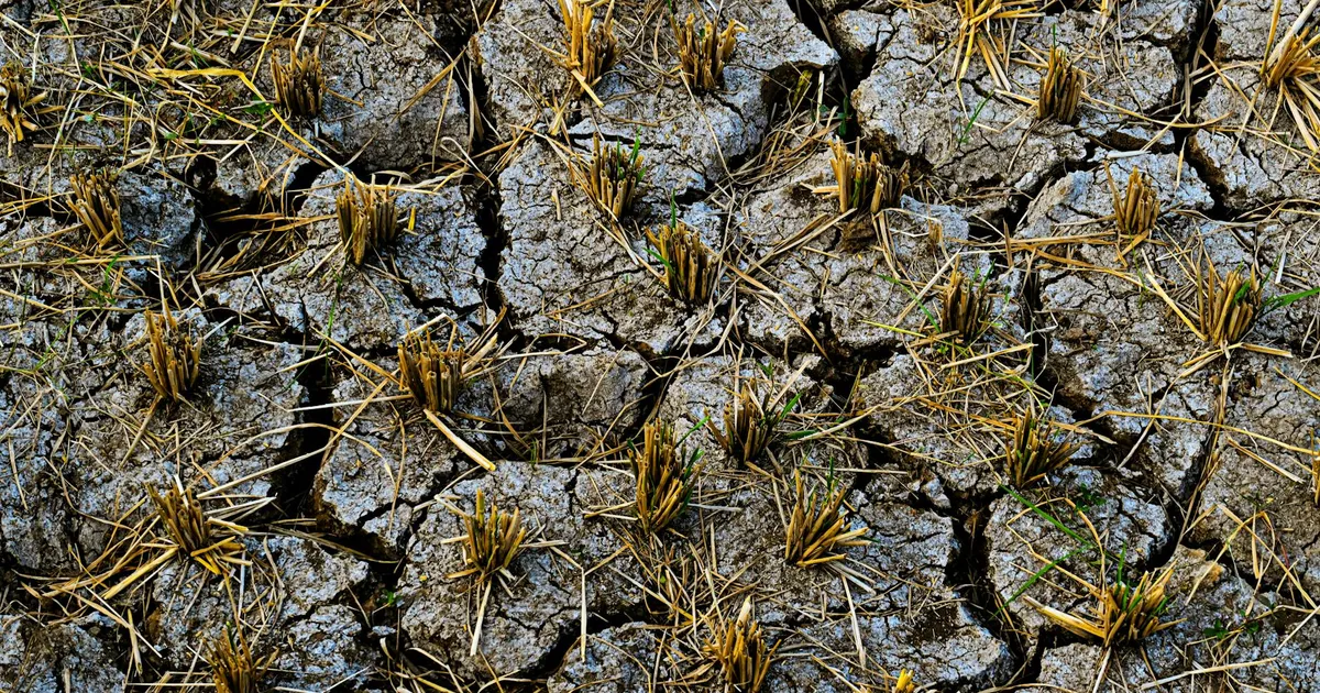
East coast drying is the farming exposure
El Niño’s signature in New Zealand is consistent: drier north and east, wetter south and west. Marlborough, Hawke’s Bay, Canterbury and Northland face reduced rainfall, lower pasture growth and irrigation pressure. Rural News Group flags this specifically for the wine industry, noting the La Niña-to-El Niño flip as a critical planning variable for the 2026-27 growing season.
The global implications are equally direct. Marex’s agricultural analysis notes that El Niño events carry ‘significant implications for agricultural supply chains and market pricing’, affecting both production volumes and export commodity prices. New Zealand dairy and meat producers face a double hit: reduced domestic production and potentially volatile international pricing.
Energy, insurance and construction all face repricing
El Niño’s wetter west coast typically boosts South Island hydro inflows, but the uneven rainfall distribution creates spot price volatility risk heading into winter. If the east dries while the west floods, the mismatch between generation capacity and demand centres will widen.
Insurers pricing 2026-27 renewals are already factoring in the pattern: increased wind and flood risk in the south and west, drought losses in the north and east. Businesses in exposed regions should expect premium pressure before the event fully materialises.
For construction and logistics, a colder and windier winter means road closures, site shutdowns and increased fuel costs. The Earth Sciences NZ outlook flags an elevated chance of heavy rain and flooding during April, with airflow transitioning from easterly to southeasterly to southwesterly through the quarter.
Weeks to adjust, not months
The complicating factor is that this El Niño arrives into a structurally warmer climate. Marine heatwave conditions were recorded around New Zealand’s coasts as recently as November-December 2025, with extreme readings in some locations. Historical analogues from 1982 and 1997 may not capture the full range of what a strong ENSO event does when layered on top of elevated baseline temperatures.
With a 90% probability of El Niño in place by June-August, the adjustment window for water-dependent, energy-exposed and weather-sensitive businesses is measured in weeks. Feed budgets, irrigation allocations, energy hedging positions and insurance renewals all need revisiting now, not when the drought arrives on the evening news. The last time forecasters were this confident this early, the event cost the country hundreds of millions. This time the economy is larger, the exposure is broader, and the planning assumptions are softer.
Sources
- Island Climate Update 307 – May 2026 (2026-04-16)
- Wine Weather: From Mild La Niña to Potential ‘Super El Niño’ Risk in 2026 (2026-04-16)
- This NZ winter could get properly cold (2026-04-08)
- El Niño and Agriculture: Weather Shocks, Supply Risk and Market Pricing (2026-04)
- Seasonal Climate Outlook December 2025 – February 2026 (2025-12-01)